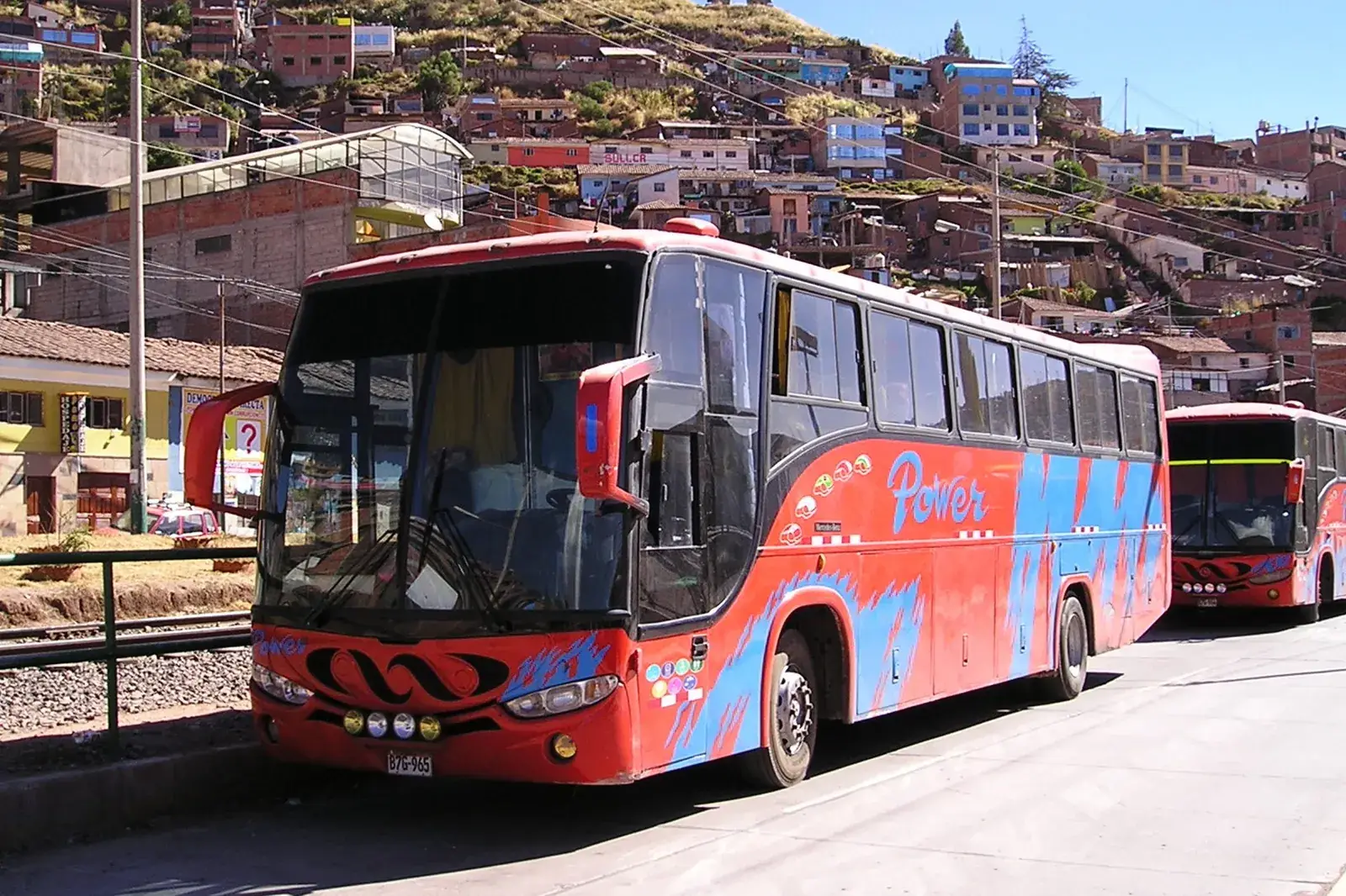
Fly for the long legs, take the bus for the short and medium ones, and use the train for Machu Picchu and the scenic ride to Lake Titicaca. Peru is large and mountainous, so a journey that looks short on the map can take most of a day. As a rule of thumb, anything beyond about six or seven hours by road is worth pricing as a flight.
In this section
-
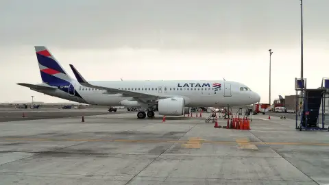 Guide
Domestic Flights in Peru
A practical guide to flying between Peruvian cities and what tends to go wrong.
-
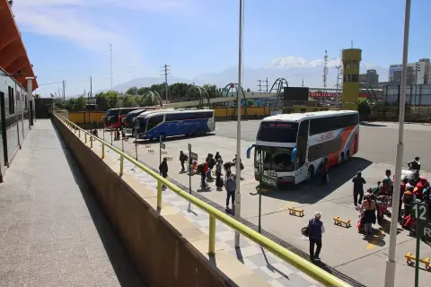 Guide
Long-Distance Buses in Peru
What to expect from intercity buses, from seat types to booking and safety on mountain roads.
-
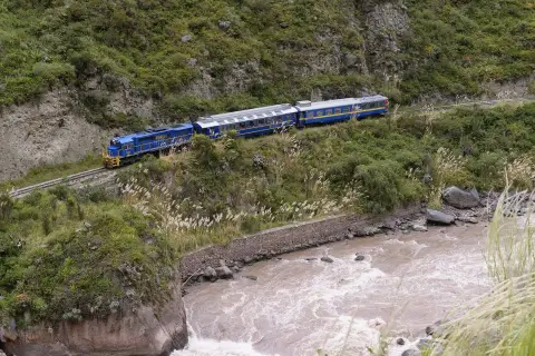 Guide
Trains in Peru
Peru's passenger trains are few and mostly scenic or tourist-oriented, so this overview shows where they are worth it.
-
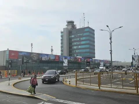 Guide
Peru's Airports
The main airports in Peru, what each is used for and the practical points that matter.
-
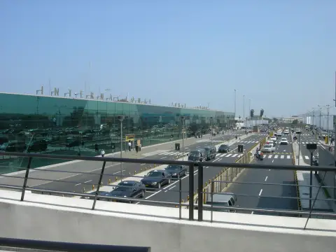 Guide
Lima Airport Transfers
The realistic ways to reach your hotel from Lima's airport, with time estimates and safety points.
-
-
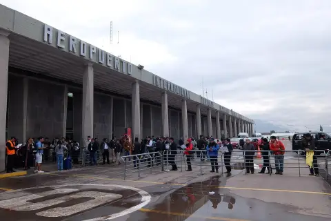
 Guide
Taxis and Ride-Hailing in Peru
A guide to using taxis and apps in Peruvian cities, with the safety points that matter.
-
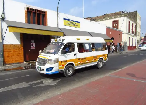 Guide
Collectivos and Combis
A practical introduction to Peru's shared cars and minibuses, the cheapest way for short trips between towns.
-
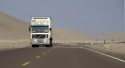 Guide
Car Rental and Driving in Peru
An honest look at driving in Peru and the cases where a rental car helps.
-
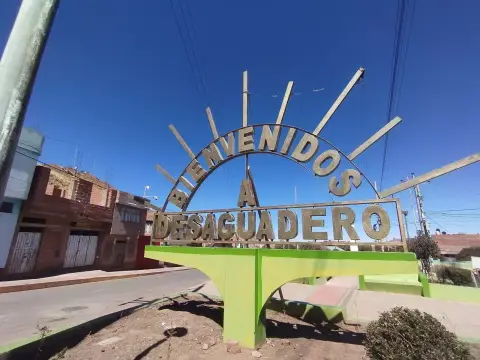 Guide
Peru to Bolivia Border Crossing
The two main land crossings from southern Peru into Bolivia and how to choose between them.
-
-
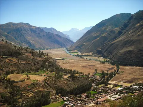 Route
Cusco to the Sacred Valley
The options for travelling between Cusco and the Sacred Valley towns, from the cheapest to the most comfortable.
-
 Route
Lima to Paracas
The coast trip south from Lima to the Paracas peninsula, how long it takes and which option suits whom.
-

-
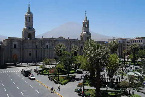 Route
Lima to Arequipa
How to travel the 1,000 km from Lima to Arequipa, with a clear recommendation.
-
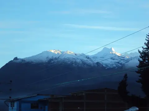 Route
Lima to Huaraz
The overland journey from the Pacific coast to the heart of Peru's trekking country.
-
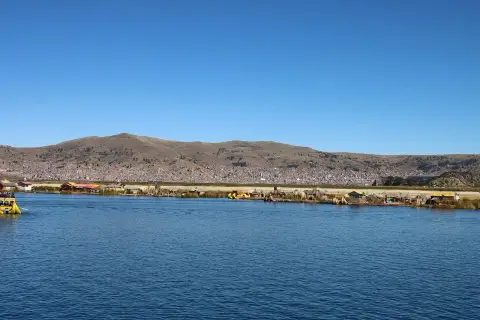 Route
Arequipa to Puno
The overland link between Arequipa and Lake Titicaca, with realistic times and what to expect on the high road.
-
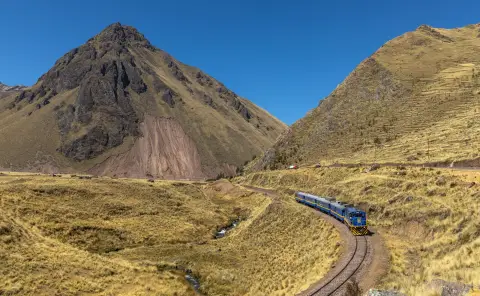 Route
Cusco to Puno
The classic overland route to Lake Titicaca, and how to choose between the four ways of doing it.
-
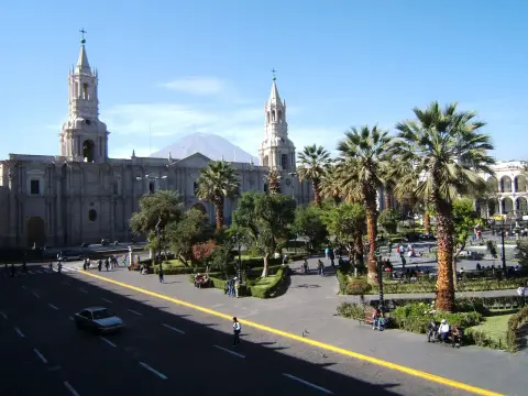 Route
Cusco to Arequipa
How to travel between Peru's two main southern cities, and why the bus ride is long but rewarding.
-
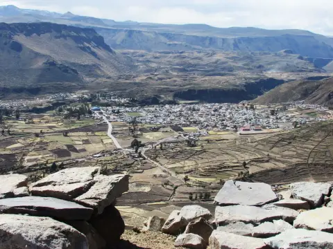 Route
Arequipa to Colca Canyon
The route from Arequipa to Chivay and the Cruz del Cóndor, and the choice between a tour and doing it yourself.
-
 Route
Lima to Nazca
The road south to the Nazca Lines, with advice on timing and on the overflights.
-

-
 Route
Lima to Máncora
Getting to Peru's northern beaches, where a flight and a short ride usually beat the very long bus.
-
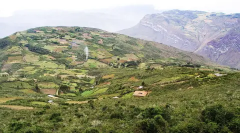 Route
Lima to Chachapoyas
A realistic look at the journey from Lima to Chachapoyas, Kuélap and Gocta, which is longer than most visitors expect.
-

-
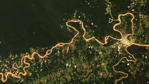 Route
Cusco to Puerto Maldonado
How to travel from the Andes to the southern Amazon, and why the flight is usually the sensible choice.
-
 Route
Cusco to Manu
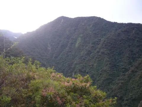
Getting from Cusco to the Manu area: the road descent, the role of operators, and the time it takes.
-
 Guide
Flights to Peru: Routes, Airports, Tips
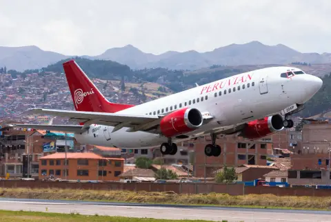
A practical guide to getting to Peru by air: the Lima gateway, typical routings, open-jaw tickets, fare seasons, luggage and arrival.
Why distance works differently here
Peru has three very different landscapes: a dry coastal desert, the high Andes and the Amazon basin. Roads that cross from one to the next climb thousands of metres, wind through mountain passes and are sometimes closed by landslides in the rainy season. The same distance that takes an hour on a motorway in Europe can take four or five hours on an Andean road.
That is why the sensible way to plan is by time, not by kilometres. Give each leg a realistic duration, add buffer for delays, and count the transfers at either end: the taxi to the terminal, the check-in, the wait, the ride from the arrival point into town. The comparison between a flight and a bus is rarely about the journey itself; it is about how many hours of a short trip you are prepared to spend sitting down. How much time you really lose travelling puts numbers on that.
The four main options
Domestic flights link Lima with most regional cities and are the best choice for the longest legs, such as Lima to Cusco, Arequipa or the Amazon. Long-distance buses cover almost every route in the country, from basic services to comfortable reclining seats, and are the usual way to travel along the coast and between neighbouring Andean cities. Trains are few and mostly tourist-oriented: the services to Machu Picchu and the long ride between Cusco and Puno. Shared transport, such as collectivos and minibuses, fills the short hops between towns and villages, especially in the Sacred Valley.
A fifth option, renting a car, suits confident drivers on the coast and in some valleys, but it is rarely the best choice in the high Andes. Taxis and ride-hailing apps are a sixth layer that you will use in every city, mostly for the first and last few kilometres of a journey.
Building a route that works
Fly into Lima, then fly to the mountains rather than riding up from sea level: that also helps your body, since a long bus ride followed by a sudden arrival at altitude gains nothing. Use buses for the coast south of Lima, where distances are moderate and the road is good; the run to Paracas is the classic example. Use the road between Cusco and Puno or Arequipa when you want the scenery and have time. Leave a spare day before any international flight home.
A good shape for a first visit is to fly Lima to Cusco, work through the Sacred Valley and Machu Picchu, then move south by road or rail towards Lake Titicaca and Arequipa, and finally fly from Arequipa back to Lima. That avoids doubling back and keeps every leg short enough to be pleasant.
Where each mode earns its place
On the south coast, buses are the natural choice. Lima to Paracas, Ica and Nazca runs along one main road, with frequent departures and modest journey times, so a flight would add nothing. In the southern highlands the picture is mixed: Cusco to Puno and Cusco to Arequipa can be done by bus in a long day or an overnight, or by air with a connection through Lima, and the right answer depends on whether you want the scenery or the time.
In the north, Trujillo and the coast can be reached by bus, but Chachapoyas and Cajamarca are much further from Lima than they look. The Amazon is its own case: Iquitos has no road link to the rest of the country, and the road routes to Puerto Maldonado and Manu are long, winding and best treated as part of the experience rather than a way of saving money.
Altitude and timing on the road
Transport decisions and altitude are linked. Flying from Lima to Cusco, at about 3,400 m, puts you at height in about an hour and a half, which is why many itineraries use the Sacred Valley floor, roughly 2,800-2,900 m, as a gentler first night. Going overland from the coast spreads the climb over a day, but long mountain passes can still push you well above the altitude of your destination before you descend again.
Timing matters too. Many mountain buses travel at night to save a hotel bill, but night travel on high roads means less visibility, colder cabins and less recourse if something goes wrong. If you have a choice, favour daytime departures on the mountain legs and overnight services on the flat coastal ones. Read about altitude sickness before planning a fast ascent.
Booking, tickets and money
Flights are best booked ahead, especially for Cusco in the dry season. Buses can usually be bought online with a card or at the terminal on the day, but popular overnight routes and holiday weekends sell out, so buy a day or two early if the date is fixed. Trains to Machu Picchu are the tightest of all and are covered on the Machu Picchu trains.
Carry some cash in small notes for taxis, shared vans and terminal fees, since cards are not accepted everywhere. Money and ATMs explains how to handle that. Keep your passport accessible, because buses and flights both ask for it at boarding.
When plans break
Strikes, landslides and weather will occasionally disrupt a leg. The right response is to build slack before and after the legs that cannot move: the international flight home, the Machu Picchu entry, a pre-booked trek. Two practical habits help: keep a screenshot of every booking, and know the alternative for each main leg, such as the bus if a flight is cancelled or the next morning's flight if a road is blocked.
Strikes and road blockades, missed domestic flights and weather blocking your route go into the detail, and travel insurance is worth checking for what it covers when a transport leg fails.
Frequently asked questions
Is it better to fly or take the bus in Peru?
Fly for journeys that would take more than about six or seven hours by road, and take the bus for shorter ones. Flights are quicker but have luggage limits and can be delayed by fog or strikes.
Do I need to book transport in advance?
For flights and trains to Machu Picchu, yes, especially in high season. Buses can often be booked a day or two ahead, though popular routes and holiday periods fill up.
Can I get around Peru without speaking Spanish?
Yes on the main tourist routes, where staff at agencies and bus offices often speak some English. A few Spanish phrases still help with taxis and shared transport. For the useful ones, see Spanish phrases.
Are overnight buses a good idea?
On the flat coastal routes, they can save a night's accommodation and are widely used. On high mountain roads, many travellers prefer daytime departures for the views and the added margin if something goes wrong. Choose a company with a reputation for newer vehicles and two drivers on long runs.
How do I get from the airport to my hotel?
Taxis and pre-arranged transfers are the usual options, and both Lima and Cusco are covered separately: see Lima airport to the city and Cusco airport. Agree the fare before getting in if there is no meter.
What happens if a strike stops my bus?
Wait at your accommodation rather than at the roadside, ask the bus company about alternatives or refunds, and consider a flight if a journey is blocked for more than a day. Blockades usually clear within days but can last longer in some regions.