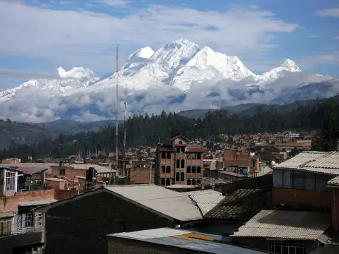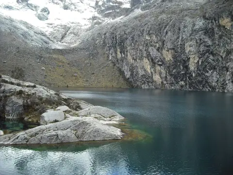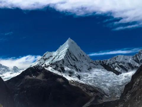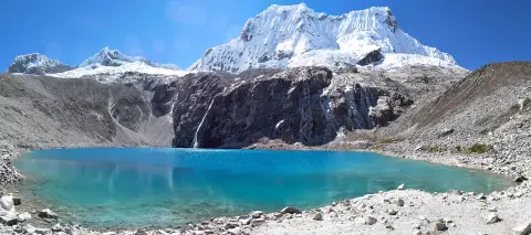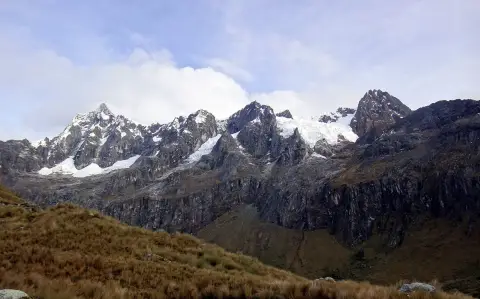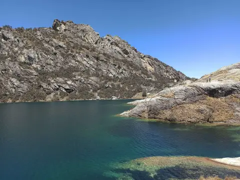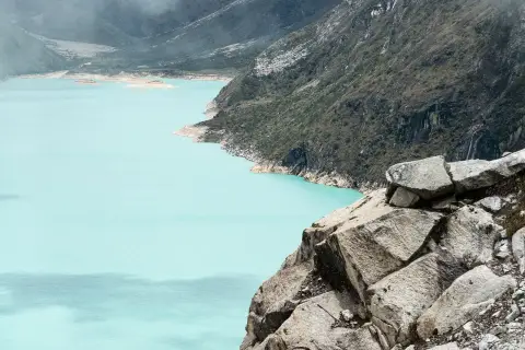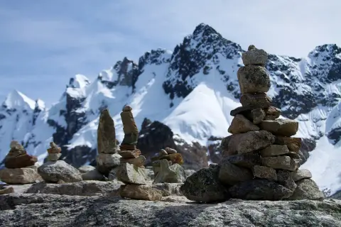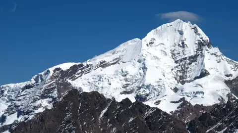
Huascarán National Park is the protected area that covers most of the Cordillera Blanca, the snow-capped range east of Huaraz, and it is where nearly every lake, glacier and trailhead of the region sits. It can be visited as a day trip from Huaraz to a single sector, or as part of a multi-day trek. A park ticket is normally required, the altitude is serious, and the dry season is the safest time to go.
Map
What the park is
Huascarán National Park was created in the 1970s and covers roughly 340,000 hectares of the Cordillera Blanca, the highest tropical mountain range in the world. It is managed by the national protected-areas service, SERNANP, and is a UNESCO World Heritage Site, listed for its mountain scenery and its geology. It also takes its name from Huascarán, Peru's highest mountain at 6,768 m.
The park is not one place that you enter once. It is a long strip of high valleys, glacial lakes, rock walls and ice, with separate access roads from the valley of the Santa River. The park is often described as holding hundreds of glaciers and a few hundred lakes, which explains why the same name appears on so many different tours. For a map of the range itself, see Cordillera Blanca.
What you see
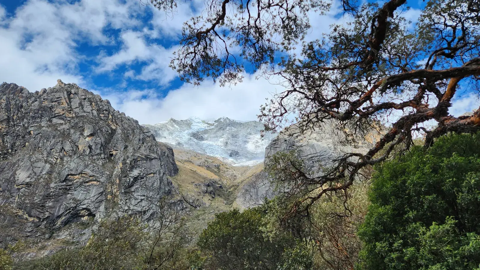
The landscape changes with altitude. In the lower valleys, at around 3,000 to 3,500 m, there are fields, eucalyptus and scattered stands of quenual trees, a high-altitude woodland species with peeling reddish bark that is one of the park's most photographed details. Above that come grassland, boggy meadows and turquoise lakes, then moraine, bare granite and glaciers.
Wildlife is present but is rarely the main reason to come. The park lists the Andean condor, the vicuña and the spectacled bear among its animals, though sightings of the bear are very unusual. Plant life includes the giant bromeliad Puya raimondii, which can be seen in the Pastoruri area. Most visitors remember the combination of rock, ice and water more than any single species.
Weather decides how much of this you see. Peaks are often clear early and clouded by the afternoon.
Tours and activities
Bookable online, chosen for their traveller reviews.
-
Day trip From €29 per person
The main sectors
Four areas account for most visits from Huaraz. The Llanganuco valley, reached through Yungay, has two lakes beneath Huascarán and the road to the Portachuelo pass; it is the easiest sector because little walking is needed. The trailhead for Laguna 69 is in the same area, and that hike is long and demanding.
The Pastoruri area, south of Huaraz, is a high plateau with a retreating glacier and Puya raimondii plants, and it is higher than the other day trips. Quebrada Ishinca, the Churup approach and other valleys near the town are used for acclimatisation hikes such as Laguna Churup.
Not all lakes are inside the same management arrangement. Some, such as Laguna Parón, are run locally with different entry rules, so ask what applies to the place you want.
Tickets and access
Entry to the main sectors is generally charged. The fee is paid at the control post (garita) of the sector or bought beforehand through the official online ticket platform, and it varies with the number of days and with whether you are a foreign visitor. Prices appear in many places with different figures, so do not rely on a number from a blog; check the current one with SERNANP or your operator.
Many tours include the fee, and many do not. Ask before you pay for the tour, and carry your passport. Control posts keep daily opening hours, and during peak holidays the authorities have set daily limits on visitors at the busiest places, so the dry-season weekend you plan may need an earlier booking than you expect.
Most visitors go with an agency, because a vehicle with a driver is the practical way to reach the trailheads. See choosing a trekking agency for what to ask.
Getting there from Huaraz
Every sector is reached by road from Huaraz or from towns in the valley such as Yungay, and almost always by a full-day tour that leaves early in the morning. Llanganuco and the Laguna 69 trailhead take a long morning drive on a mostly paved road followed by a rough stretch, while Pastoruri is in the opposite direction, south of the city.
Independent travel is possible using local minibuses and taxis, but schedules change, the last leg is on unsurfaced road, and a tour is simpler if you have only a few days. A rented car is possible, but the road conditions and the altitude make it a job for experienced drivers.
The practical rule is to set out early. Mornings are clearer, and daily return times are easier to keep if the vehicle leaves at first light. Keep a spare day in the plan in case weather or a road closure cancels an outing.
Altitude and safety
Huaraz sits at about 3,050 m, and the park starts around there and rises to above 6,000 m. Even the day-trip sectors reach well over 4,000 m, and Pastoruri is higher than the others. Travellers who come straight from Lima are the most likely to feel headache and breathlessness.
Spend two or three days in and around Huaraz before you attempt anything high, and read acclimatisation for trekkers and altitude sickness. People with heart, lung or blood conditions should speak to a doctor before planning active days.
The mountain environment adds its own risks: sun at altitude, sudden cold and rain, and slippery ground. Wear layers, sun protection and sturdy shoes, and treat a sudden worsening headache or confusion as a reason to go down. Glacier travel and climbing are for qualified guides only.
When to go
The dry season, roughly May to September, gives the clearest views and the firmest trails, and it is also the busiest and the coldest at night. The wet season, roughly November to March, brings cloud, rain and snow at altitude, and roads can be difficult. Shoulder months can work, but weather is less predictable.
Within a day, plan the highest or most scenic place first. Cloud tends to build from late morning, and views of the big peaks are best early.
Photographers should note that the park is large and the light changes quickly, so a lake that looks flat at midday can be spectacular within an hour of sunrise or sunset, if your tour timing allows it.
What to combine it with
For a short stay, combine one gentle sector, such as Llanganuco, with a short acclimatisation hike and a day for the archaeological site of Chavín. Read things to do in Huaraz for the full list, and plan the rest around the days you need to adjust to altitude.
If you want to walk longer, the Santa Cruz trek is the best-known multi-day route through the park and needs proper acclimatisation first. Laguna 69 should come after the easier days, not before them.
Where you sleep matters less than how you schedule the early starts; where to stay in Huaraz explains the districts. Check the situation with strikes and road blockades before booking tight plans.
Where to sleep
-
Find hotels
Huaraz centre
Services, tour offices and restaurants for the Cordillera Blanca
-
Find hotels
Monterrey
Quieter spot north of town with thermal baths
-
Find hotels
Caraz
Small town closer to the northern lakes and trails
Frequently asked questions
Do I need a ticket for Huascarán National Park?
In most sectors, yes. It is paid at the control post or bought online in advance, and the amount depends on the sector and the number of days. Some tours include it, so ask before you book.
Can I visit Huascarán National Park without a tour?
Yes, using local minibuses and taxis from Huaraz or Yungay, but timetables change and the last stretch is rough. A tour is simpler if you have limited time. See choosing a trekking agency if you decide to book.
Can I climb Huascarán?
The mountain is a serious high-altitude climb, with glaciers and crevasses, and is only for experienced climbers with a qualified guide. A visit to the park does not require climbing it.
What is the easiest part of the park to visit?
The Llanganuco lakes, because the road takes you close and little walking is needed. They are still above 3,800 m, so go after a day or two of acclimatisation.
How many days should I allow for the park?
Allow at least three days in Huaraz, two for adjusting and one or two for park outings. Multi-day treks need more time and a separate plan.
Is Huascarán National Park safe?
The main risks are altitude, weather and road conditions rather than crime. Take layers and water, tell someone your plan and read is Peru safe for general advice.
Is Huascarán the same as the Cordillera Blanca?
Not exactly. The Cordillera Blanca is the mountain range, and the national park protects most of it. Huascarán is also the name of the highest peak inside the park.