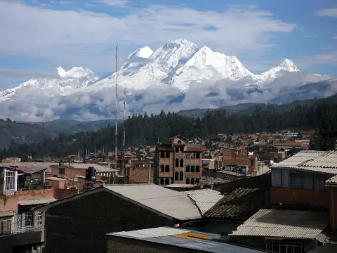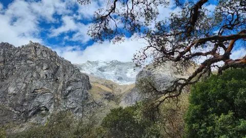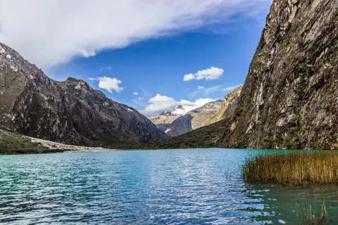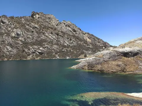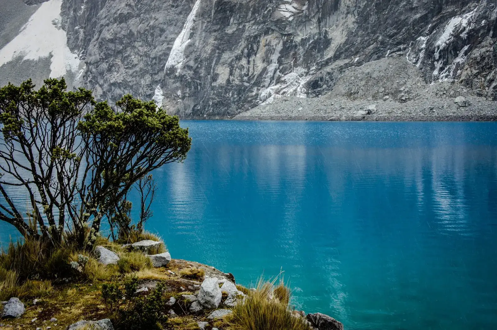
Laguna 69 is a glacial lake at about 4,600 m in Huascarán National Park, below the ice and rock walls of Chacraraju. Its turquoise colour and the closeness of the glaciers make it one of the best-known sights of the Cordillera Blanca. There is no road to the shore: you reach it on a long day trip from Huaraz that ends with a walk uphill, so spend a few days at altitude first.
Map
What Laguna 69 is
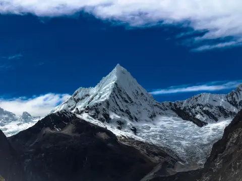
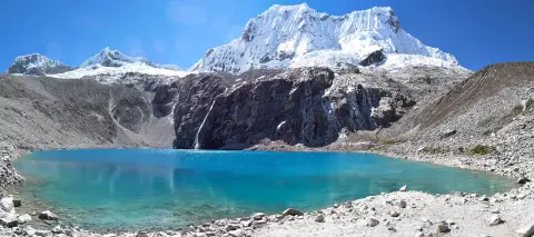
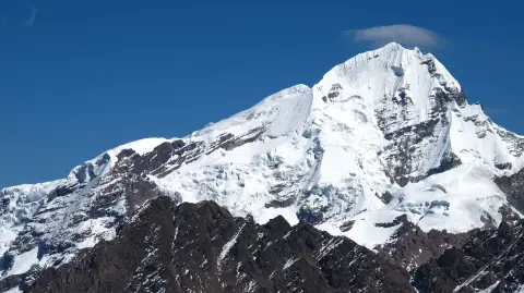
Laguna 69 is a small glacial lake in the Cordillera Blanca, inside Huascarán National Park, at about 4,600 m. It sits in a rocky cirque directly beneath the glaciers of Chacraraju, a steep, snow-covered peak above 6,000 m, and is fed by meltwater from the ice above.
The name is a survey number rather than a traditional name: the park holds hundreds of glacial lakes and many were simply numbered. The lake belongs to the same area as the Llanganuco lakes, and the wider region is described in the Cordillera Blanca guide.
Why it is worth the effort
The colour is the reason people come. Glacial meltwater usually carries very fine ground rock, which scatters the light and gives the water a turquoise to deep blue tone that changes with sun and cloud. Seen under a clear sky, with the glaciers and a thin waterfall of meltwater falling down the cliffs behind it, the lake is among the most striking short-day sights near Huaraz.
Expect a compact scene rather than a vast one. The lake is small, the shore is rocky and the area is cold and windy even on a bright day. In cloud or rain the colour can look much flatter, so the visit is worth most on a clear morning.
Tours and activities
Bookable online, chosen for their traveller reviews.
-
Day trip From €29 per person
How to see it
Laguna 69 can only be reached on foot. The usual way is a guided day tour from Huaraz that leaves very early, drives for roughly three hours through the Callejón de Huaylas and the Llanganuco area, and stops at the trailhead at about 3,900 m. From there the walk to the lake is a few hours uphill, with a shorter descent in the afternoon. Independent visitors can go by public transport and taxi, but the early start and the distance make a tour the common choice.
This page only describes the lake. The route, the distances, the timing of the day and the difficulty are covered in the Laguna 69 hike guide. Entry to the national park normally requires a ticket, often included in the tour price, so confirm it when you book.
When to go and what to bring
The dry season, roughly May to September, is the most reliable time for clear skies and dry paths, and the colour of the lake shows best in sunshine. The wetter months, roughly November to March, bring cloud, rain and sometimes snow on the upper part of the route. Conditions on the mountain change quickly in any season, so go early in the day, when the sky is usually clearest.
Bring layers, a waterproof jacket, a hat, sun protection, sturdy shoes, water and food. Swimming is not realistic: the water is very cold and the altitude makes any effort harder. Keep to the path, take your rubbish with you and follow the rules of the national park.
Who it suits and what else to consider
Laguna 69 suits visitors who are in good health, used to long walks and prepared for altitude. If you want a similar mountain-lake view with less effort, the Llanganuco lakes can be seen close to the road, and Laguna Churup is a shorter day walk often used for acclimatisation. For the wider park, see the Huascarán National Park page, and for a base, where to stay in Huaraz. If you book a tour, choosing a trekking agency helps.
Where to sleep
-
Find hotels
Huaraz centre
Services, tour offices and restaurants for the Cordillera Blanca
-
Find hotels
Monterrey
Quieter spot north of town with thermal baths
-
Find hotels
Caraz
Small town closer to the northern lakes and trails
Frequently asked questions
How high is Laguna 69?
About 4,600 m above sea level, a little over 1,500 m higher than Huaraz. Published figures differ by a few metres, so treat the number as approximate.
Why is Laguna 69 called that?
The name is a survey number. The Cordillera Blanca has hundreds of glacial lakes and many of them were numbered instead of receiving traditional names.
Why is the water turquoise?
Meltwater from glaciers usually carries very fine ground rock, which scatters sunlight and gives the water its turquoise or blue colour. The shade changes with the light and the weather.
Can I reach Laguna 69 by car?
No. The road ends at a trailhead and the lake is reached on foot. The walk is covered in the Laguna 69 hike guide.
Can I visit Laguna 69 on my first day in Huaraz?
It is not advised. The lake is much higher than the city, and a few days of acclimatisation, with outings such as Laguna Churup, make the day safer and more enjoyable.
What is the best time of year to see the lake?
The dry season, roughly May to September, is usually the best for clear skies and dry paths. Go in the morning, since clouds often build later in the day.
Can you swim in Laguna 69?
It is not recommended. The water is very cold, the altitude makes effort harder and the shore is rocky.